About Us
The Geodetic Survey Section of Survey and Mapping Office (SMO) is mainly responsible for maintaining and densifying a network of accurate survey control points that covers the whole territory of the Hong Kong SAR. This network provides the fundamental horizontal and vertical position reference for many vital activities, such as mapping, land boundary survey, land administration, building construction, infrastructure development, railway development, town planning, new town development, environmental protection, safety management of aerial and marine navigations, etc.
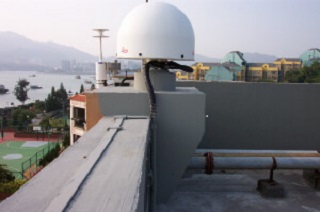
Moreover, the Geodetic Survey Section is responsible for maintaining different kinds of baselines and sites for EDM calibration, GNSS equipment calibration and steel band standardization. Apart from this, the Geodetic Survey Section is also responsible for managing and maintaining a local satellite positioning reference system, named as "
For any enquiry, please send e-mail to geodetic@landsd.gov.hk or call 3168 2666.