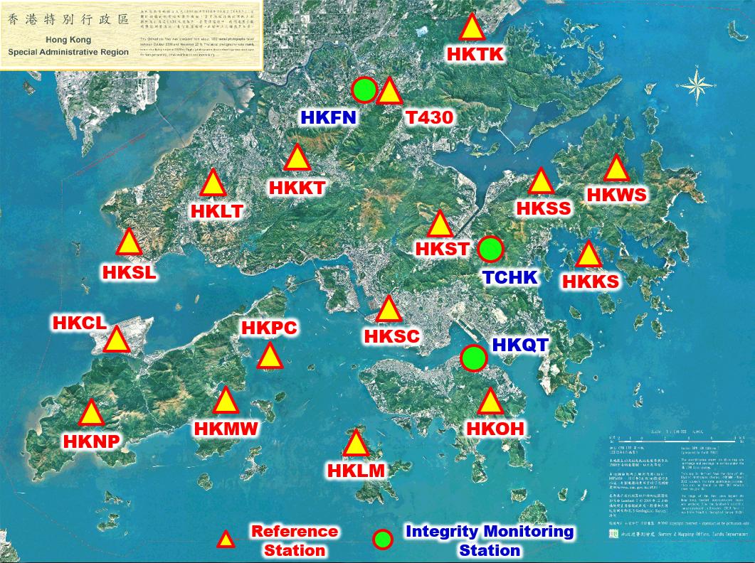
Survey and Mapping Office (SMO) of Lands Department makes use of the Global Navigation Satellite System (GNSS) to develop the system, named as “Hong Kong Satellite positioning Reference Station Network” (SatRef), for providing services to users in high accuracy positioning works and other applications. The network consists of 19 Continuously Operating Reference Stations (CORS) including 16 reference stations and 3 Integrity Monitoring (IM) stations evenly distributed in Hong Kong. The stations observe GNSS satellite (including BDS-3 satellite) data round-the-clock and transmit the observables to the data centre for further processing and analysis. The services were launched to the public on 4 February, 2010.