SatRef Services
The SatRef system provides the following services to users:
GNSS Raw Data (RINEX Format) Download
Users can download GNSS RINEX data files collected from the Continuously Operating Reference Stations (CORS) of SatRef. And, the GNSS RINEX data files of the CORS Station of Marine Department at Kau Yi Chau and the 3 MoSRef Stations of Macao can also be downloaded here.
GNSS Data Automatic Computation
Users may upload GNSS observation files in RINEX format to the system. The system will process the data and perform automatic baseline adjustment to determine your position, and then send back the computation results to you via email.
Network RTK and DGNSS
(a) You may use SatRef Network RTK Service via the Internet
(b) You may use SatRef DGNSS Service via the Internet.
(Please use the SatRef NTRIP Services for receiving correctional signal via the Internet)
How to use SatRef Network RTK / DGNSS services
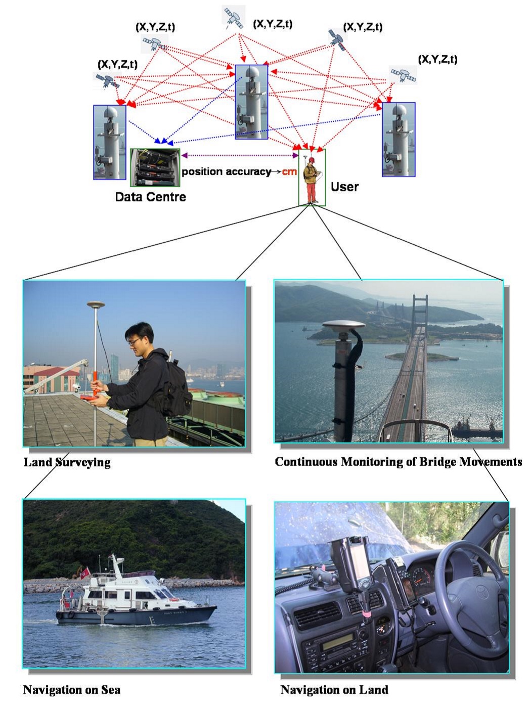
SatRef Applications
With the data services provided by the SatRef system, the users can apply them in land surveying projects or structural monitoring works for projects which require high precision in real-time. It can also incorporate and integrate with the terrestrial or marine navigation system to improve the positioning accuracy.
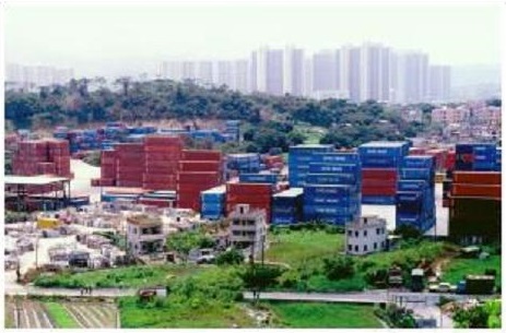
The Planning Department uses the Network RTK data services to take measurement for enforcement and prosecution of unauthorized development under Town Planning Ordinance
Measure building movement and vibration frequency
under strong wind
 |
 |
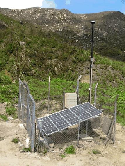
Automatic real-time monitoring of a slowly moving slope