The Hong Kong Satellite Positioning Reference Station Data Services Launching Ceremony and Workshop
The Hong Kong Satellite Positioning Reference Station Data Services (the Service) was launched on 4 February, 2010. The launching ceremony was officiated by Mr. ZHANG Xin Min, Director, Guangdong Provincial Association of Surveying and Mapping and Ex-Deputy General Director, Department of Land and Resources of Guangdong Province, Mr. CHAN Hon Peng, Director of Macao Cartography and Cadastre Bureau, Ms Annie TAM, Director of Lands, and Mr. WONG Chung Hang, Deputy Director/Survey and Mapping, Lands Department. Over 200 guests attended the launching ceremony, including about 20 representatives from Guangzhou, Shenzhen and Macau. An application workshop was held after the launching ceremony. There were about 350 participants coming from 15 government departments, 5 professional institutes, 40 companies and 7 universities and education institutions attending this important event in the surveying and mapping industry of Hong Kong.
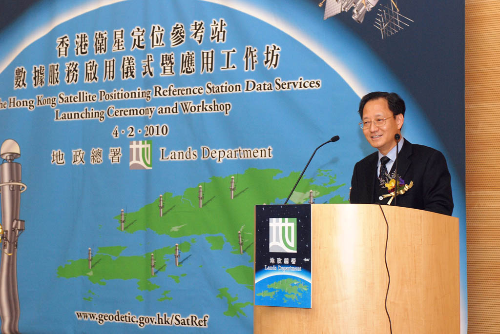
Mr. WONG Chung Hang, DD/SM, delivers the welcome speech.
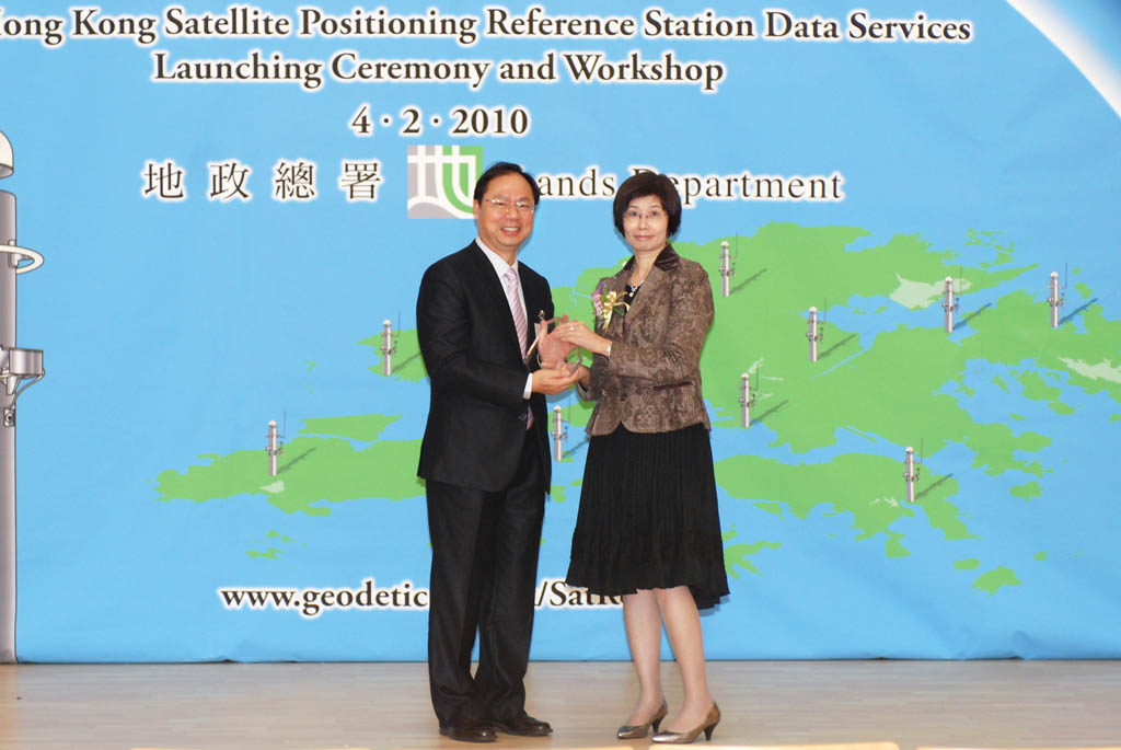
Ms Annie TAM, Director of Lands presents a souvenir to Mr. Simon KWOK, CLS/U as one of the workshop speakers.
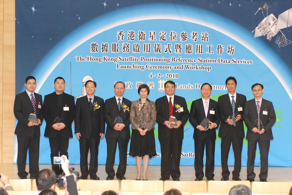
Officiating guests and workshop speakers at the launching ceremony.
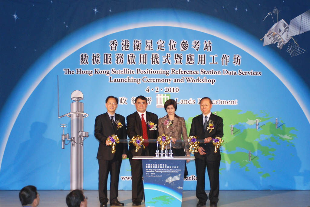
Officiating the launching ceremony, from the left: Mr. WONG Chung Hang, Deputy Director/Survey and Mapping, Mr. ZHANG Xin Min, Director, Guangdong Provincial Association of Surveying and Mapping, Ms Annie TAM, Director of Lands, and Mr. CHAN Hon Peng, Director of Macao Cartography and Cadastre Bureau.
Workshop on the Hong Kong Satellite Positionin Reference Station Data Services Application
Presentation 1:
Introduction of the Hong Kong Satellite Positioning Reference Station Data Services and its Application
Presentation 2:
Reducing Cost and Improving Efficiency of Land and Engineering Survey with Satellite Positioning Reference Station Data
Presentation 4:
DGPS Satellite Positioning through Internet for Mobile GIS, Tree Survey and Emergency Services
Presentation 6:
The Application of GNSS Tenchnologies in Planning Department - Now and Future
Presentation 7:
A New Era of Mobile Phone Satellite Positioning and Guiding Application Using Reference Station Data and Agent-based Technology
Presentation 8a:
Use of GPS Signal Delay for Rainfall Forecast in Hong Kong
Photos and Video:
SatRef Launching and Ceremony and Workshop (4 February, 2010)
